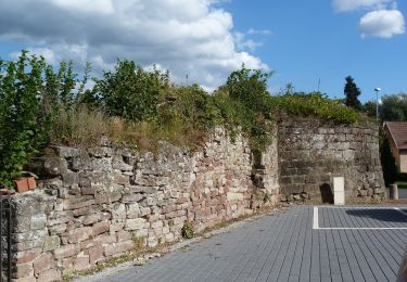
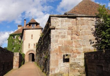
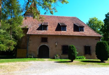
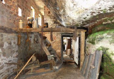
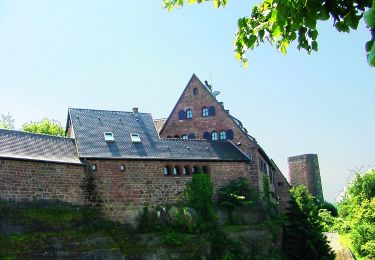
Randonnée A pied La Petite-Pierre - Losange jaune - Photo

Tous les sentiers balisés d’Europe PRO

© OpenStreetMap contributors
Longueur
Longueur
6 km
Altitude max
Altitude max
410 m
Dénivelé positif
Dénivelé positif
198 m
Km-Effort
Km-Effort  
8,6 km
Altitude min
Altitude min
232 m
Dénivelé négatif
Dénivelé négatif
177 m
Boucle
Boucle
Non
Balise
Balise
Date de création :
2022-02-15 15:34:41.307
Dernière modification :
2022-03-02 18:05:55.702

(0 Avis)

A pied
A pied
1h57
Difficulté : Facile

Scannez ce code QR pour ouvrir la randonnée dans l'application SityTrail

Application GPS de randonnée GRATUITE

Logo SityTrail SityTrail
IGN / Instituts géographiques

Télécharger SityTrail sur l'App Store Télécharger SityTrail sur Google Play

Logo SityTrail SityTrail World

Le monde est à vous

Télécharger SityTrail sur l'App Store Télécharger SityTrail sur Google Play Télécharger SityTrail sur Huawei AppGallery

À propos

Randonnée A pied de 6 km à découvrir à Grand Est, Bas-Rhin, La Petite-Pierre. Cette randonnée est proposée par SityTrail - itinéraires balisés pédestres.

Description

Randonnée créée par Club Vosgien.

According to new IGN maps the route follows the RF du Breitschloss down south and bypasses the Saut du Chien. Local signage still points to Saut du Chien and is not (yet) existant on RF du Breitschloss. (2020/07/08)

Photos

Localisation

Pays :
France
Région :
Grand Est
Département/Province :
Bas-Rhin
Commune :
La Petite-Pierre
Localité :
Unknown
Départ:(UTM)
376859 ; 5413023 (32U) N.

Randonnées à proximité

Randonnée A pied La Petite-Pierre - Triangle vert - Photo
A pied
PRO

A pied

Facile
La Petite-Pierre, Grand Est, Bas-Rhin, France
15,1 km | 19,2 km-effort
4h 22min
Non
Randonnée A pied La Petite-Pierre - Anneau bleu - Photo
A pied
PRO

A pied

Facile
La Petite-Pierre, Grand Est, Bas-Rhin, France
4,7 km | 6,8 km-effort
1h 33min
Oui
Randonnée A pied Eschbourg - Triangle rouge - Photo
A pied
PRO

A pied

Facile
Eschbourg, Grand Est, Bas-Rhin, France
6,8 km | 9,7 km-effort
2h 12min
Non
Randonnée A pied Eschbourg - Chemin des Fontaines - Photo
A pied
PRO

A pied

Facile
Eschbourg, Grand Est, Bas-Rhin, France
6,6 km | 9,1 km-effort
2h 3min
Non
Randonnée A pied Dossenheim-sur-Zinsel - Croix rouge - Photo
A pied
PRO

A pied

Facile
Dossenheim-sur-Zinsel, Grand Est, Bas-Rhin, France
13,2 km | 17,1 km-effort
3h 53min
Non
Randonnée A pied La Petite-Pierre - Triangle rouge - Photo
A pied
PRO

A pied

Facile
La Petite-Pierre, Grand Est, Bas-Rhin, France
9,6 km | 13,1 km-effort
2h 59min
Non
Randonnée A pied La Petite-Pierre - Chevalet bleu - Photo
A pied
PRO

A pied

Facile
La Petite-Pierre, Grand Est, Bas-Rhin, France
9,8 km | 13,6 km-effort
3h 5min
Non
Randonnée A pied La Petite-Pierre - Rectangle jaune barré de blanc - Photo
A pied
PRO

A pied

Facile
La Petite-Pierre, Grand Est, Bas-Rhin, France
3,9 km | 5,4 km-effort
1h 13min
Non
Randonnée A pied La Petite-Pierre - Triangle bleu - Photo
A pied
PRO

A pied

Facile
La Petite-Pierre, Grand Est, Bas-Rhin, France
5,8 km | 7,5 km-effort
1h 41min
Non


Fermer
Mes abonnements